Year: 2014
Link to project website: Explorbit
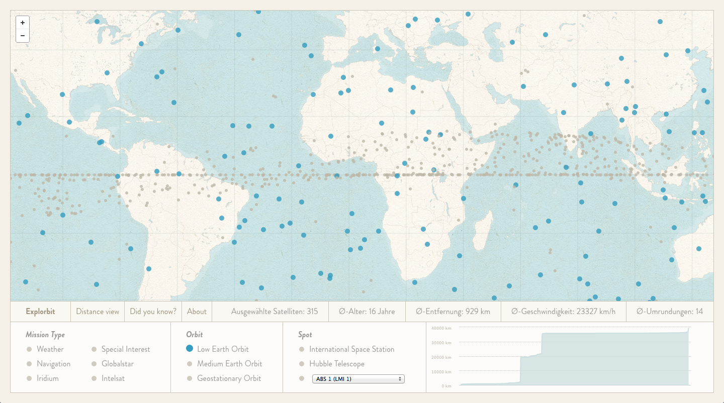
Explorbit is an interactive satellite map. I’ve worked on this project together with Ben Schmitt.
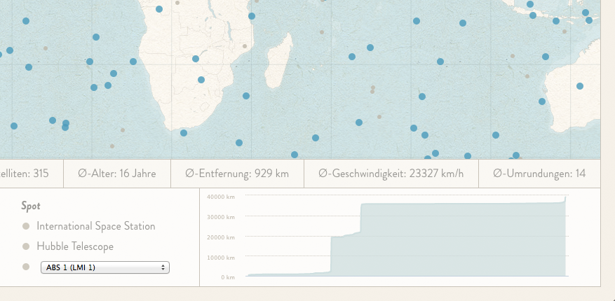
With live data from space-track.org it shows the current positions of all satellites orbiting the earth representet by dots on the map. You can even see them moving when zooming in!
The map has a navigation bar at the bottom that provides extensive filtering options to the user. Want to see all the weather satellites, or only the ones in the geostationary orbit? What about the current position of the ISS and Hubble?
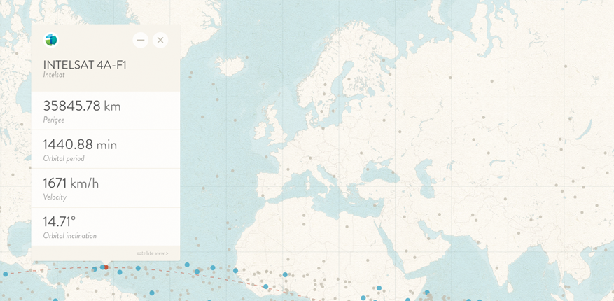
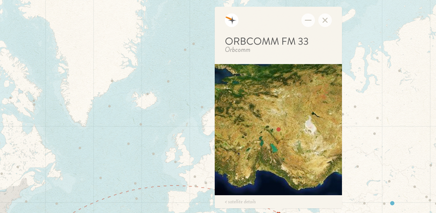
By klicking on a satellite, the user gets more information in an information window.
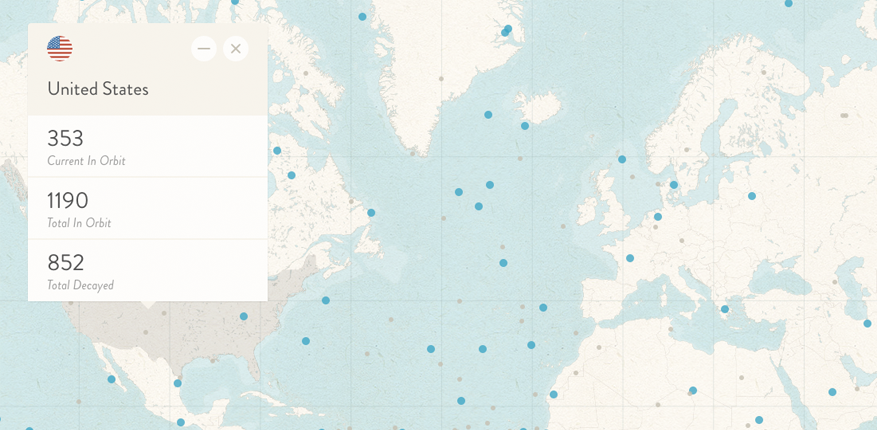
The user can also klick on a country on the map and gets information about the current and decayed satellites of this country.
The project is still work in progress.